
Presenter/s: Paul DeVries
Symposium Session: 2020 - 07 Selling the solution: Piloting projects and stakeholder engagement
Topics covered: beavers, community involvement, fish-salmon, fish-steelhead, floodplain, and riparian


ABSTRACT
This talk is a case study of implementing reach scale restoration projects while working under changing physical conditions and landowner perspectives, and learning from both successes and failures.
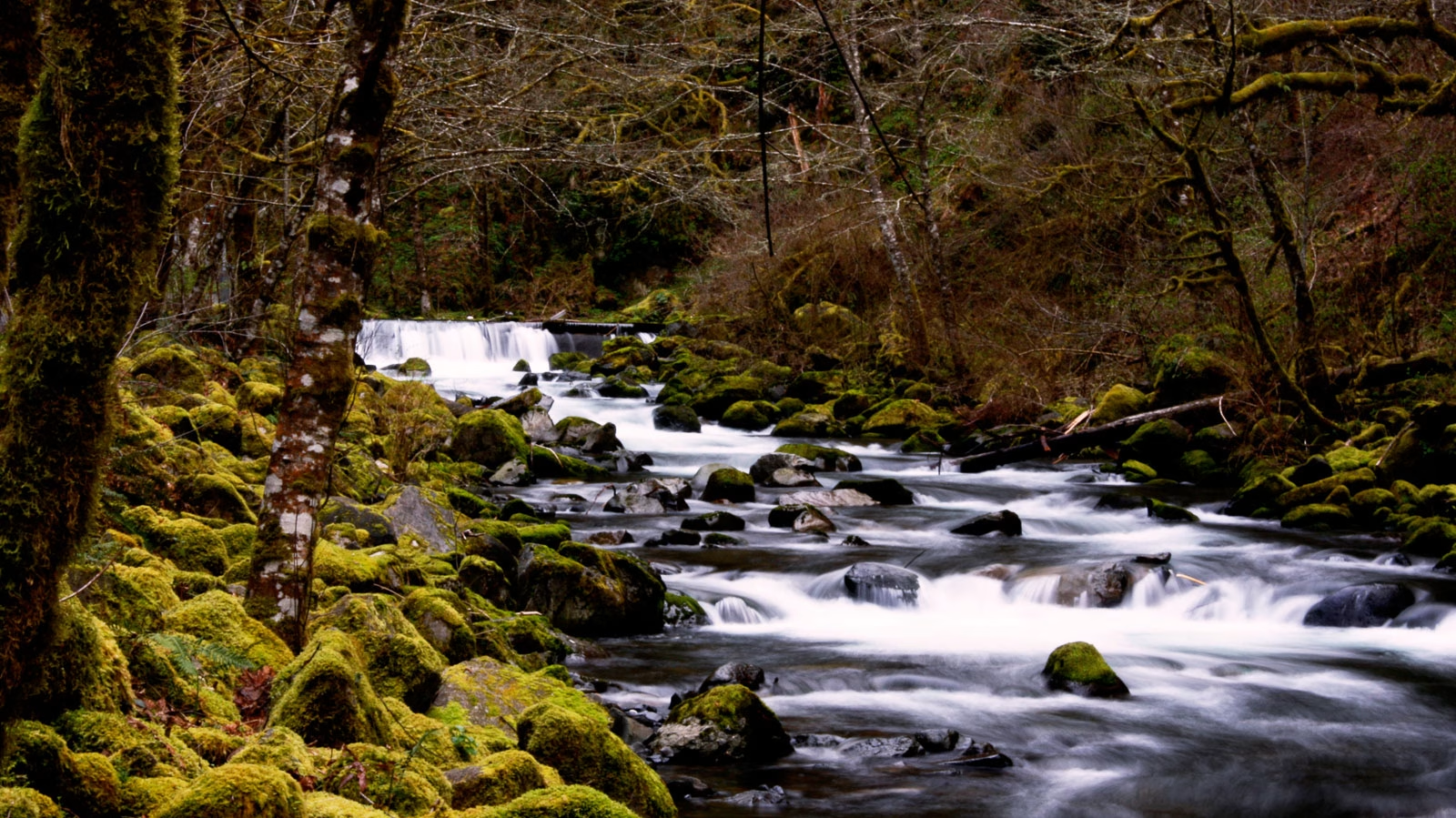
The North Touchet River is a steep, dynamic channel that flows predominantly through private lands. The river has been confined extensively by levees including many constructed after the 1996 flood, resulting in a plane bed channel with coarse substrates that has been described as a “firehose”. Salmonid habitat quality is consequently poor, especially for juvenile rearing. In general, landowners along the river view the removal of levees and addition of large wood with trepidation. A sentiment exists that the river will unravel and affect property integrity and value, where no action is preferred by most. Much of this stems from uncertainty associated with active channel processes, and the belief that these processes should and can be controlled. Nonetheless, notable channel instability still exists within various reaches. After extensive interactions between the Confederated Tribes of the Umatilla Indian Reservation (CTUIR) and landowners, general agreement to proceed was obtained, and 100% designs were prepared for two such unstable reaches. One was built, the other not.
This talk focuses primarily on the project that was built in the vicinity of the confluence with the Wolf Fork. This involved creating instream habitat structure, working with channel sedimentation and migration processes, and increasing floodplain connectivity while increasing flood protection with a strategically designed levee setback. Extensive sediment deposition, channel changes, and flooding of a residence have occurred periodically, reflecting both natural processes and previous unsuccessful attempts to control the river. Extensive flooding, erosion, and deposition affected the project reach throughout the project duration, requiring adaptive planning, design and construction. At the same time, the nature of the changes provided a context for discussing uncertainty in design, construction, and expected outcomes with the landowner. An acceptance of risks, and understanding how the design was conceived to help reduce but not eliminate those risks while working towards restoring salmon and steelhead habitat, was achieved in a way that met goals of both the project and the landowner.
Now, with successful construction and landowner approval of the finished product, the Wolf Fork project will provide the CTUIR with a tangible example to other landowners for discussing uncertainty in designing, building, functioning, and impacts of such projects elsewhere in the basin. This includes potentially the one that has not been built yet. In that instance, the design changed substantially from a relic channel remeander to various fish passage structures at a headcut, and multiple times in response to changing and contrasting landowner and funding agency requirements. In the long view, it is possible our preferred, remeander concept may be resurrected with completion of the Wolf Fork project.